Vintage 1970s Rand McNally Railroad Map – New Jersey/ New Hampshire (Double-Sided) | Historic Train Routes | Frameable Cartography Print
Vintage 1970s Rand McNally Railroad Map – New Jersey/ New Hampshire (Double-Sided) | Historic Train Routes | Frameable Cartography Print
Couldn't load pickup availability
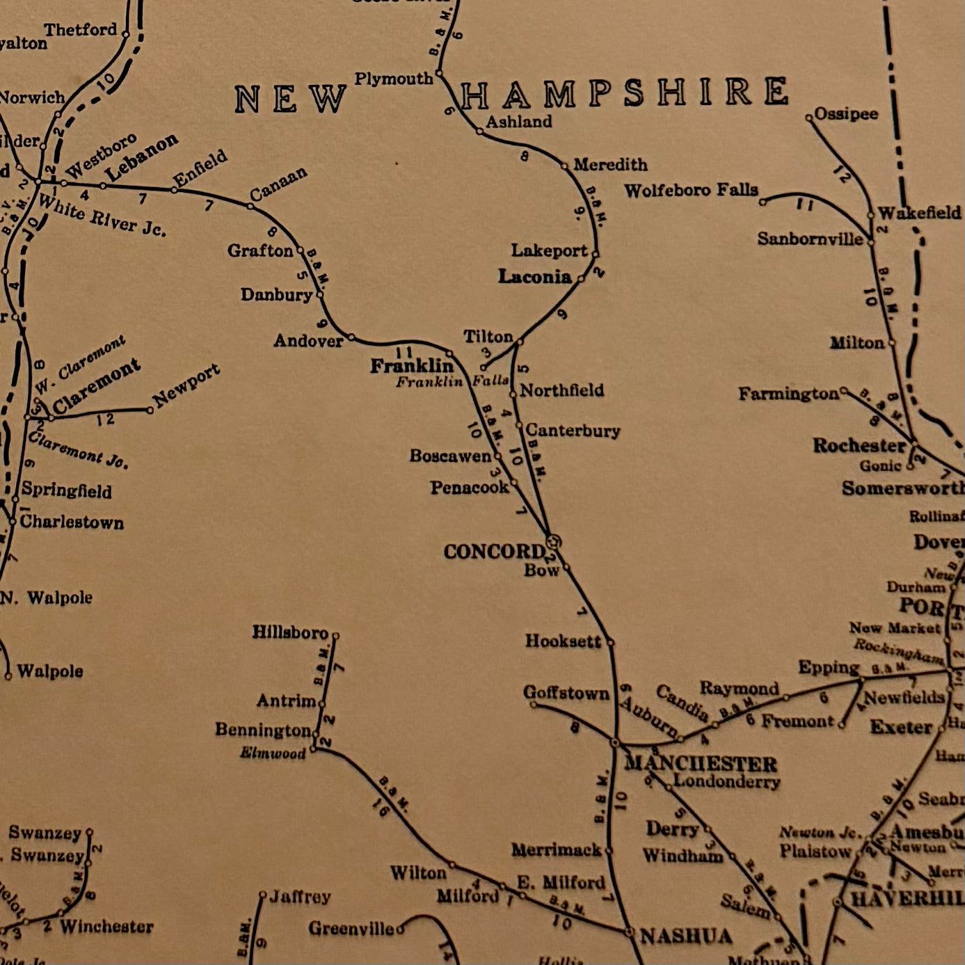
Authentic vintage Rand McNally Handy Railroad Map — double-sided pages carefully removed from the Handy Railroad Atlas of the United States (Railroad Model Craftsman Edition, circa 1970s).
Each side features detailed rail lines, stations, and routes from America’s golden age of railroads — a perfect collectible for rail fans, cartography lovers, and travel historians.
This original map shows the rail networks of New Jersey on one side and New Hampshire on the reverse.
Beautifully printed in classic sepia tones, ready to mat, frame, or display in your home, office, or studio.
Item Details
- Genuine 1970s Rand McNally Atlas Page
- Double-sided: New Jersey / New Hampshire
- Size: approx. 12” x 9”
- High-contrast black print on light tan vintage stock
- Includes original page number and margin frame
- Perfect for framing or educational use
Condition:
Excellent vintage condition — flat, clean edges with mild age toning and crisp ink.
Each map is carefully removed from a complete, intact volume.
Why Collect These:
Rand McNally’s Handy Railroad Atlas was beloved by train enthusiasts and modelers, showing the intricate web of U.S. railroads before many were decommissioned.
These maps are historically rich and visually timeless — a snapshot of America’s mid-century transport network.